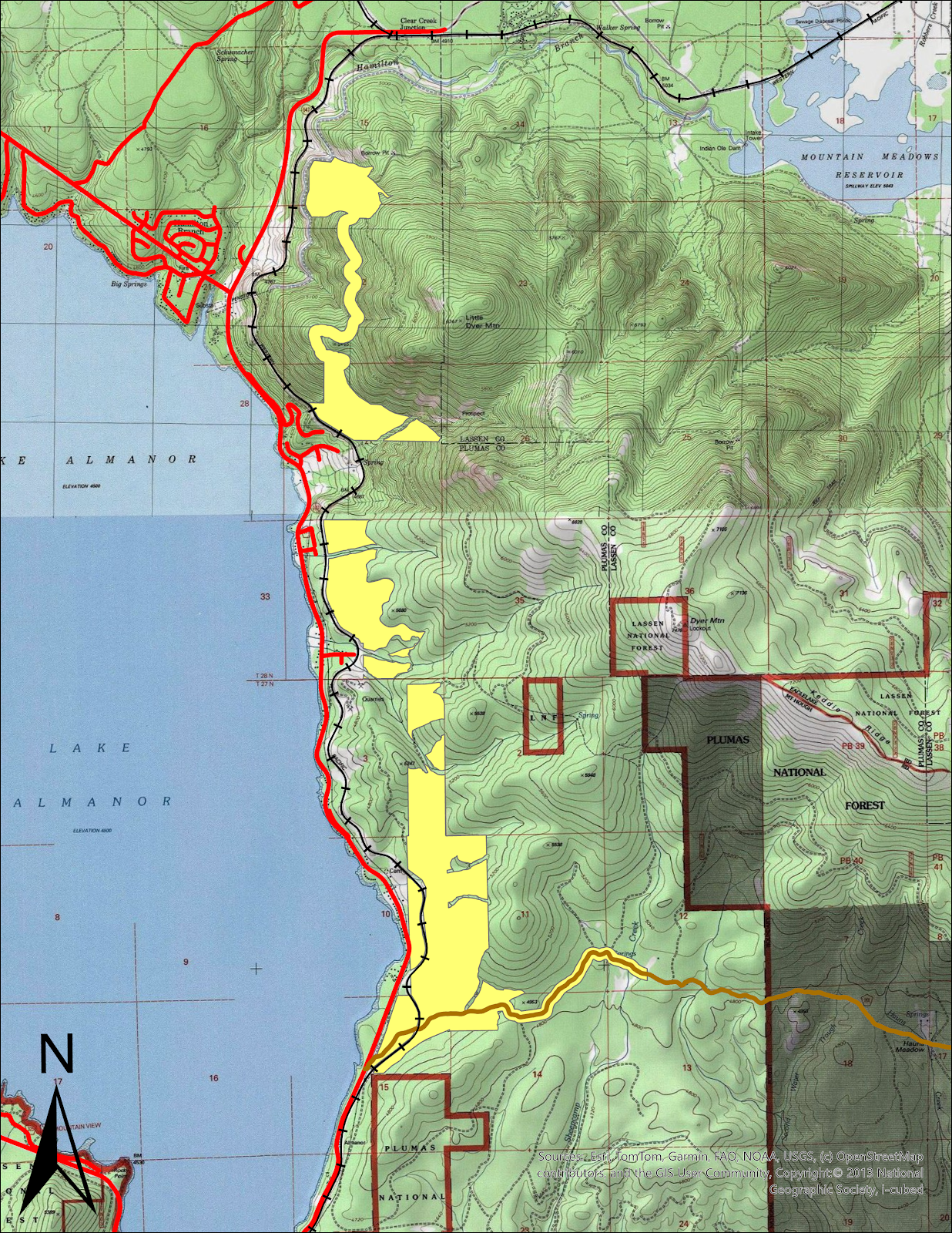
East Shore Shaded Fuel Break - Phase 1
| Funding Source | State |
|---|---|
| Grantor: | CAL FIRE |
| Project(s) | East Shore Shaded Fuel Break - Phase 1 |
| Community | East Shore of Lake Almanor |
| Awarded: | $949,232.50 |
| Proposed | 738.3-acres of Mastication |
| Completed to date | N/A |
| Status: | Grant Award |
| Expiration Date: | 02/15/2029 |